Metro Manila · 26 September 2009
The water came in a single day.
An independent remembrance of Typhoon Ondoy and the Marikina valley flood, and a practical guide for the families who live beside the river today.
Begin readingChapter I
The day the rain did not stop
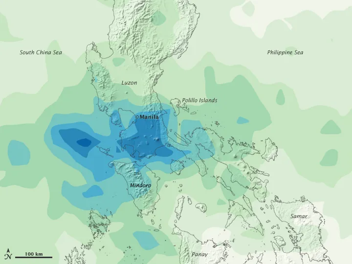
It began as an ordinary wet Saturday. Tropical Storm Ondoy, known abroad as Ketsana, was not a frightening storm by the measure Filipinos usually apply. Its winds were moderate and the warning signals over the capital were low. But its rain bands settled over Metro Manila and the hills of Rizal and stayed there. By evening the weather station at the Science Garden in Quezon City had recorded roughly 455 millimetres of rain in about a day, more than it had ever measured.
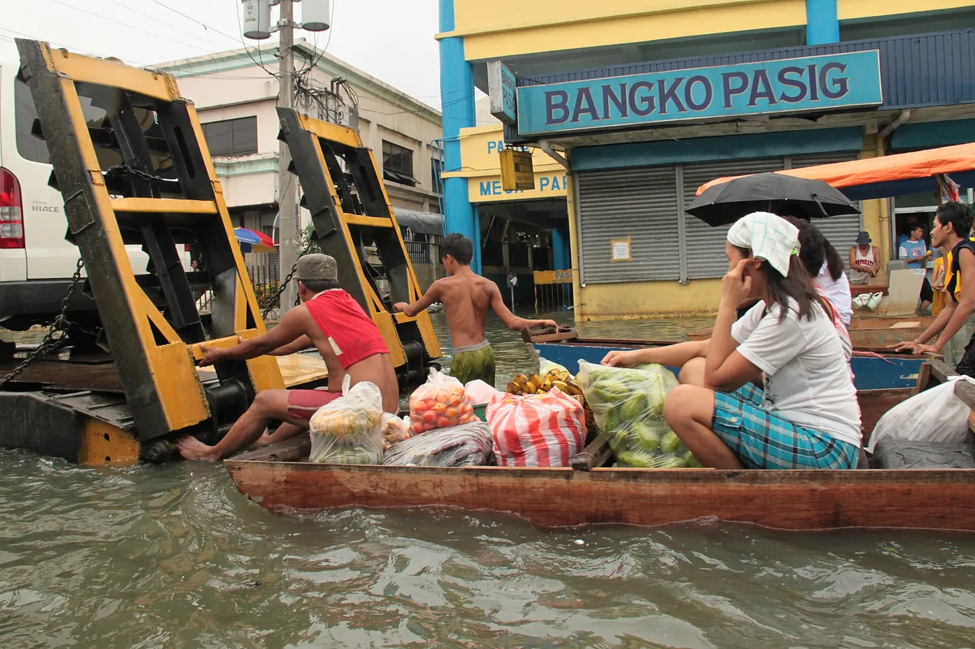
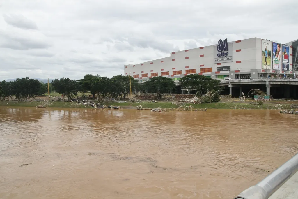
Rivers that normally rise over days rose within hours. The Marikina River, fed from the mountains and the city at once, spilled across its parks and into streets several blocks inland. Families who had carried their belongings upstairs found themselves climbing onto roofs. Across Metro Manila and the neighbouring provinces, hundreds of people died and hundreds of thousands were driven from their homes.
A low wind signal did not mean a small storm. Ondoy was a flood that arrived dressed as an ordinary rainy day.
Seventeen years later, the date still marks the calendar of the valley. This site remembers it for two reasons: because the people who lived through it deserve to be remembered, and because the next flood will come to the same river.
Chapter II
Place by place: where the water went
The flood followed the shape of the land. In Marikina, a city built in a valley around its river, subdivisions such as Provident Village were submerged to their upper floors. Downstream, Pasig, Cainta and Taytay sat on a broad floodplain with nowhere to drain. Around Laguna de Bay, water sent from the river into the lake stayed for weeks, and in some places for months.
- Marikina — the river overflowed into riverside barangays and far inland.
- Pasig — riverside and floodway communities submerged.
- Cainta and Taytay — low-lying subdivisions under water for days.
- Quezon City — creeks and tributaries overflowed.
- San Mateo and Rodriguez — upstream towns on the same river system.
- Lakeshore towns — prolonged flooding around Laguna de Bay.
Chapter III
Mud, relief and the long recovery
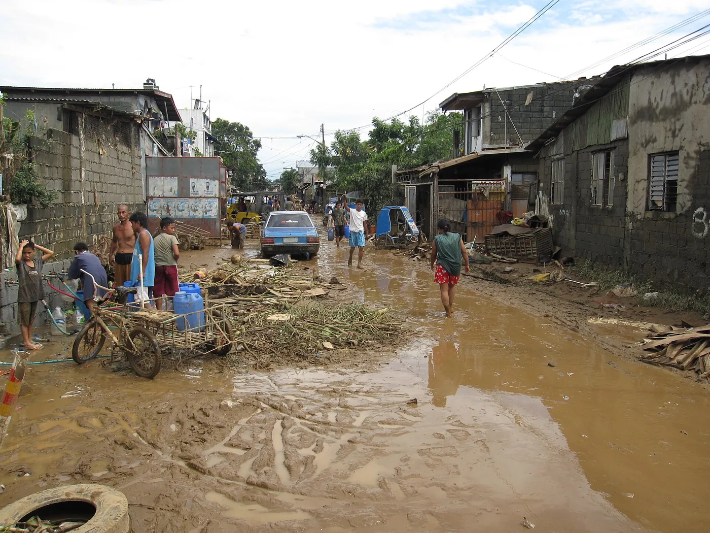
In the first hours, neighbours rescued neighbours with ropes, rafts and second floors. In the first days, churches, schools and gymnasiums became shelters while volunteers packed relief goods by the thousand. Then the water went down and left the mud: ruined furniture on every street, classrooms to scrub, shoe workshops and market stalls to rebuild from nothing.
Recovery was uneven and slow. Families with savings and relatives elsewhere returned within weeks; others, especially informal settlers along waterways, faced relocation far from work and school. Within a year, the country passed a new law that put disaster preparedness, not only response, at the centre of government planning.
The rescue stories of 2009 are mostly about ordinary people who did not wait to be asked.
Chapter IV
Living with the river
The Marikina River begins in the uplands of Rizal and runs south to meet the Pasig. Since 2009 the city has strengthened a public alarm system tied to the river's height: a first alarm to prepare, a second to get ready to leave, a third for forced evacuation. Riverbank parks give the water room to spread. Downstream, the Manggahan Floodway can send part of a flood into Laguna de Bay, protecting central Manila but keeping the lakeshore wet for longer.
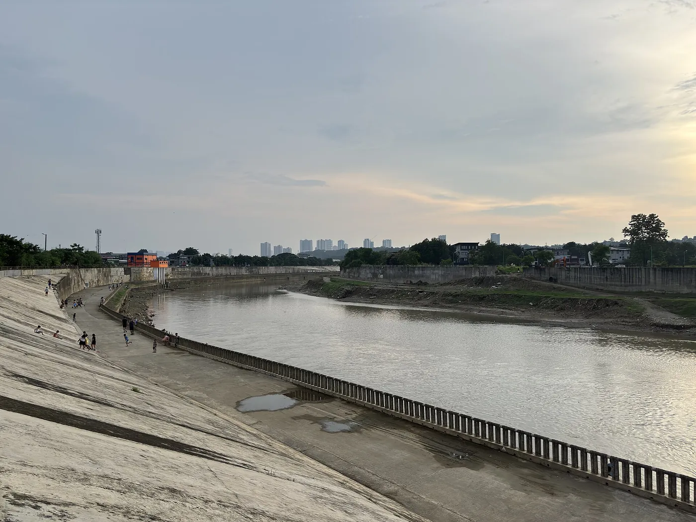
Infrastructure helps most people most of the time. It did not stop the flood of 2009, and it will not replace a household that knows when to move.
Chapter V
Prepare your household in four steps
The habits that families learned the hard way in 2009 fit into a single evening. Begin before June, when the rainy season starts.
Learn the warnings
Wind signals, colour-coded rainfall warnings and the river alarms each tell you something different. Watch all three.
Write a one-page plan
Your trigger to leave, two destinations, a meeting point, a contact list and a job for everyone.
Pack one go-bag
Water, food, medicine, documents, light, power and a change of clothes, light enough to carry through water.
Protect what cannot be replaced
Scan documents, store originals high and dry, digitise the family photographs.
Households with elderly relatives, people with disabilities, infants or pets need an earlier trigger and a few extra items; see the guide for those who need extra help.
Chapter VI
When the alarm sounds, go
The most common regret of Ondoy survivors is waiting too long. Leave when your barangay orders it or when the river reaches the level your family agreed on. Switch off the power if you can do so without standing in water, take the go-bag, and use the route you walked in June. Avoid wading; if you must, test the ground with a stick, keep away from power lines and never drive into floodwater.
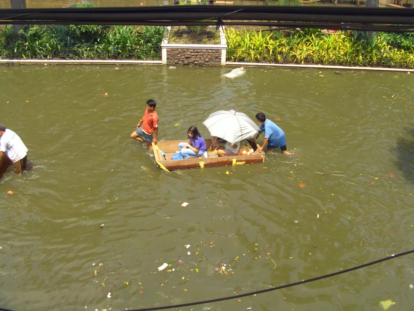
Evacuating early is calmer, safer and easier than leaving through a rising flood at night.
Evacuation basics · After the flood · Resilience on your street
Chapter VII
Places of memory along the river
Eight real public places within a short ride of Marikina City Hall on Shoe Avenue tell the valley's story: where people gather, pray, shop, play and shelter. They are listed here roughly as you would meet them following the river and the old town.
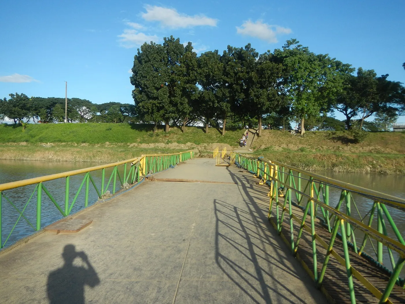 Along both banks of the Marikina River
Marikina River Park
The landscaped banks of the Marikina River are the city's front porch and the best place to understand what happened in 2009.
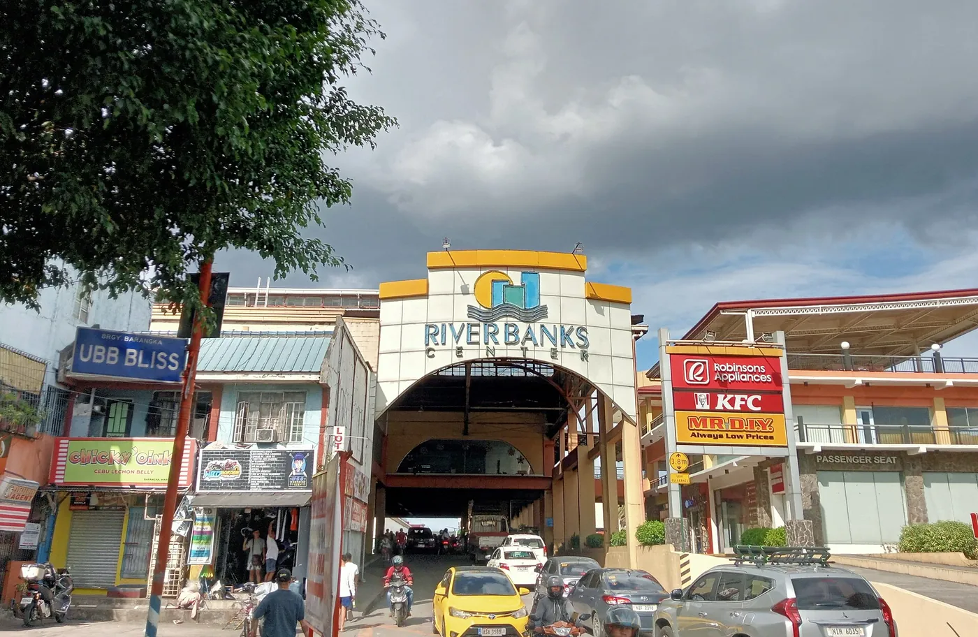 Along A. Bonifacio Avenue beside the Marikina River
Riverbanks Center
A riverside shopping and events complex where the park meets the city's busiest commercial edge.
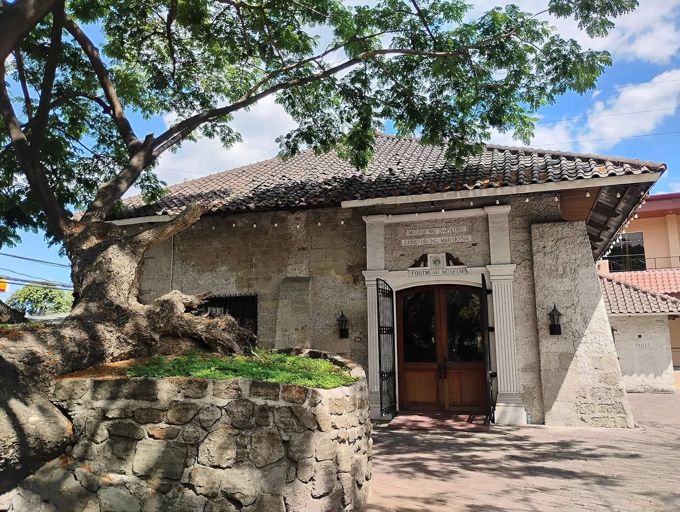 J.P. Rizal Street
Marikina Shoe Museum
The city's shoemaking heritage, and the small workshops that took years to recover after the flood.
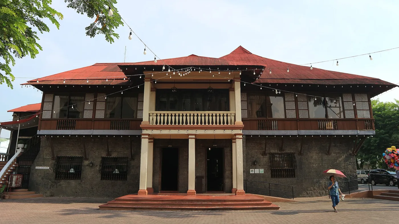 J.P. Rizal Street
Kapitan Moy Residence
The ancestral house where Marikina's shoemaking story is said to have begun, now the city's cultural centre.
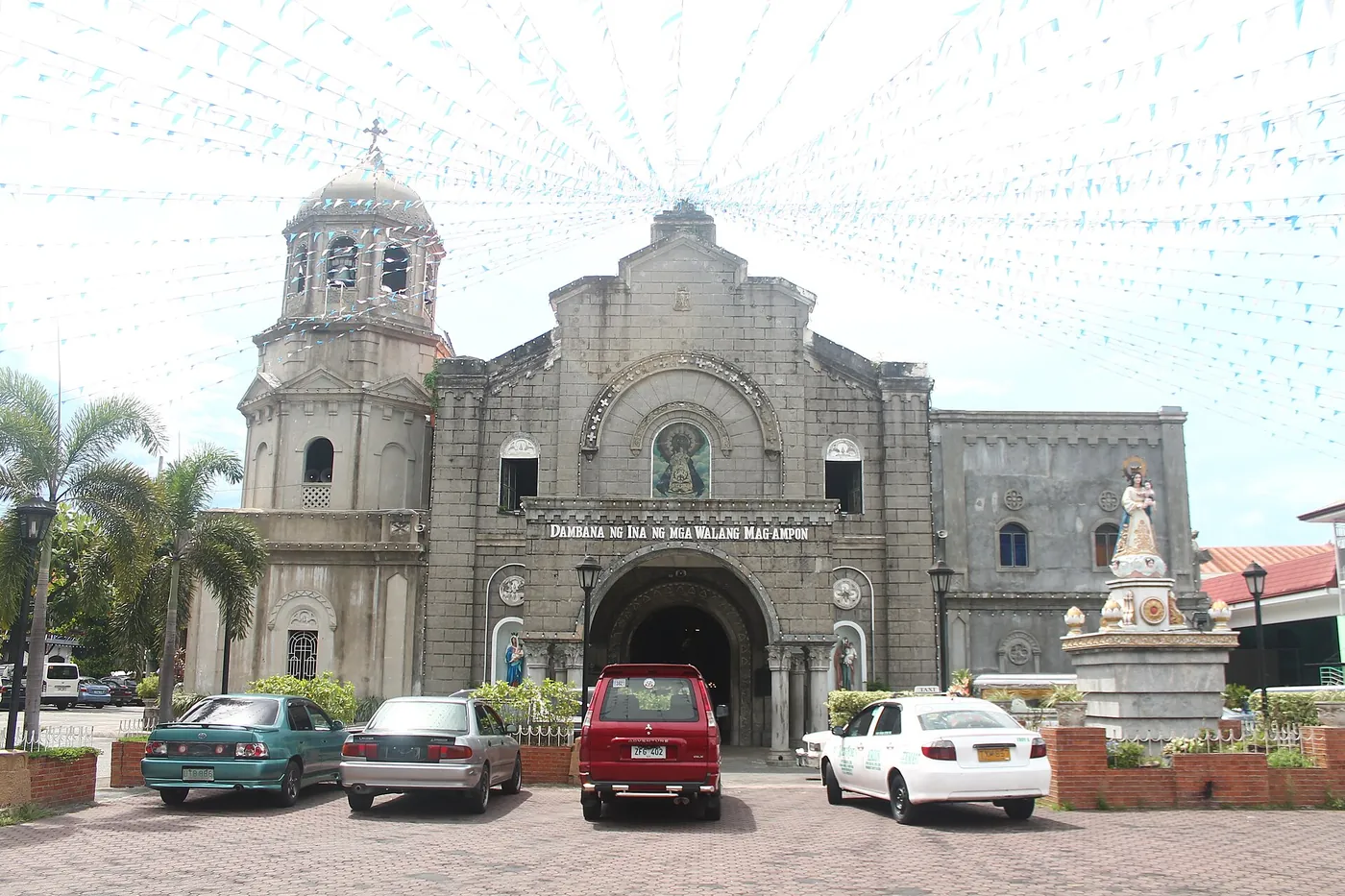 J.P. Rizal Street
Our Lady of the Abandoned Parish
The historic church of Marikina's patroness, a place of prayer for the city in hard seasons.
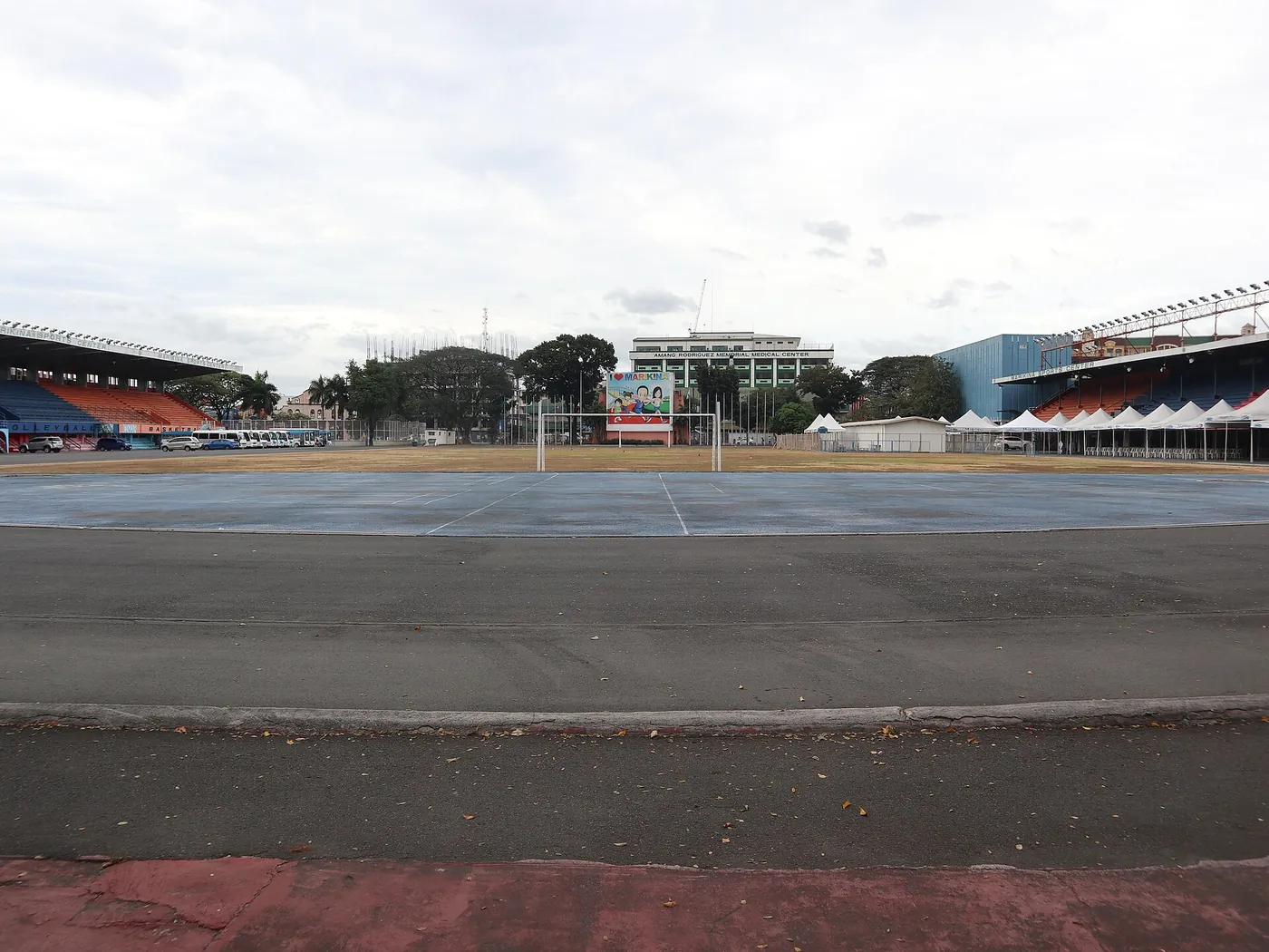 Corner of Sumulong Highway and Shoe Avenue
Marikina Sports Center
The city's big sports complex, steps from City Hall, and the kind of public facility that becomes a refuge in a storm.
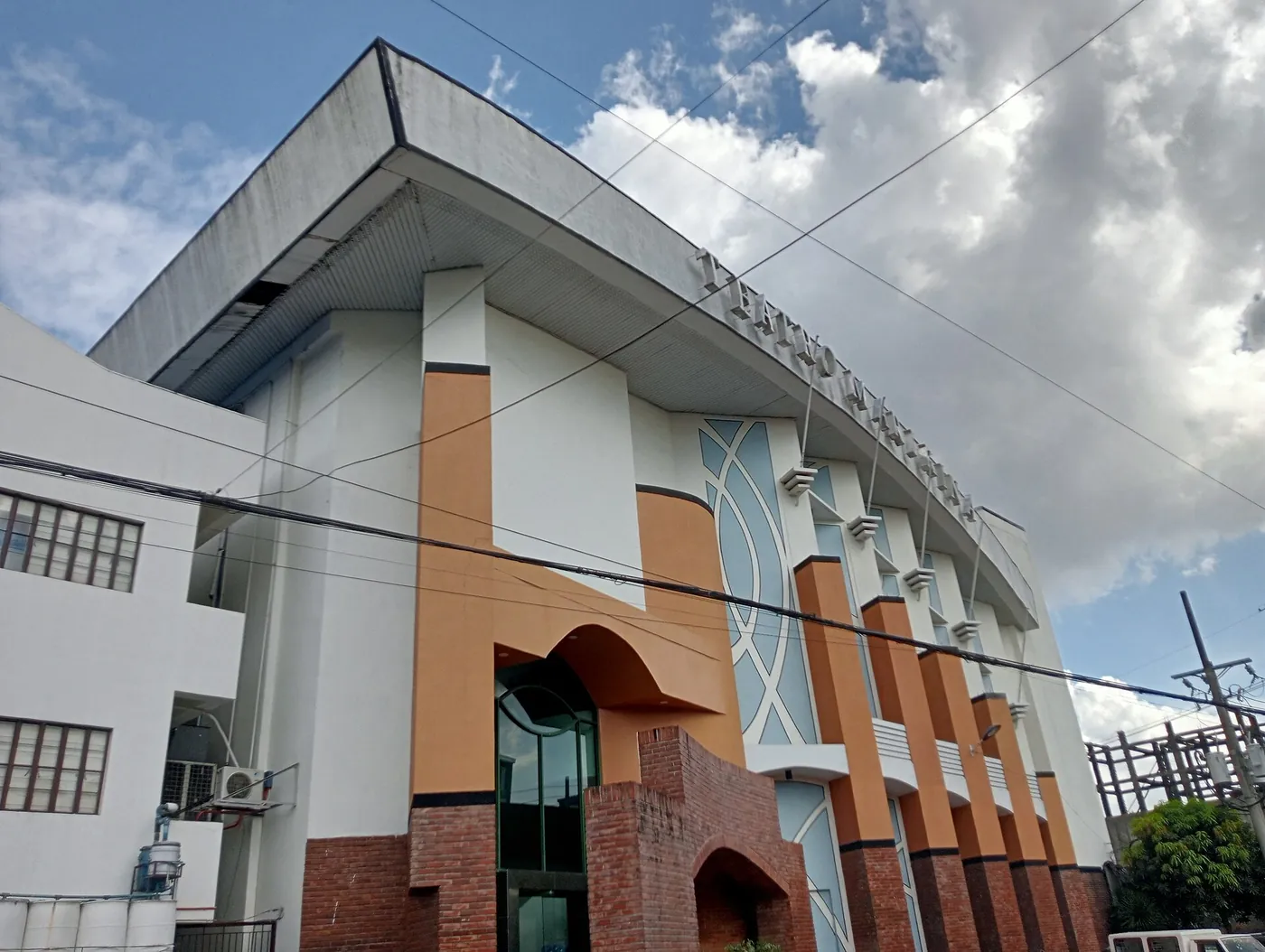 Shoe Avenue
Teatro Marikina
The city's theatre on Shoe Avenue, where performances and civic programmes bring the community together.
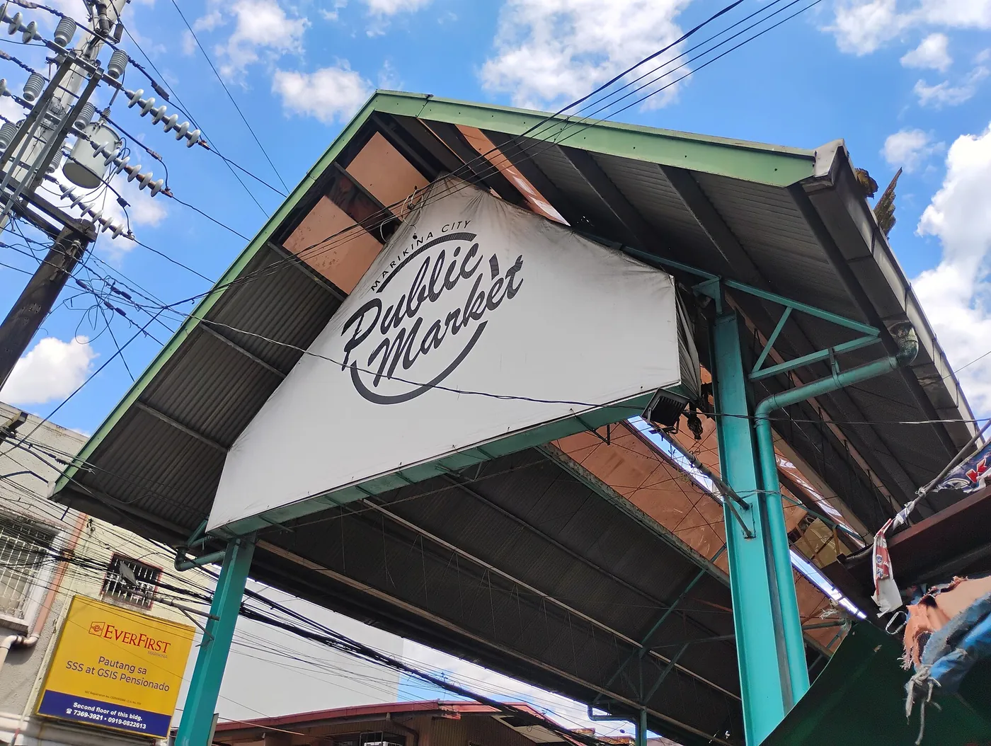 Near Sumulong Highway on the Santa Elena side of the river
Marikina Public Market
The city's daily market near the river, where recovery shows up first in what is on the stalls.
Chapter VIII
Field notes, month by month
Shorter pieces published through the year: anniversary reflections, seasonal checklists and plain-language explainers.
October 2026
- Ondoy, then Pepeng: the two weeks that changed how Luzon thinks about floodsTwo storms in quick succession showed that one disaster can overlap the next.
September 2026
- Seventeen years after Ondoy, what the river remembersAn anniversary walk along the Marikina River, and the habits that outlast memory.
August 2026
- Reading the Marikina River alarms before the rain gets heavyThe three alarm levels explained, and what each one should trigger at home.
July 2026
- A go-bag for condo and apartment living in Metro ManilaHigh-rise households flood less often, but they face their own problems when the power fails.
June 2026
- A rainy-season weekend checklist for flood-prone homesTwo days of small jobs in early June that make the rest of the season calmer.
May 2026
- Talking to children about floods without frightening themCalm, honest conversations help children feel safer, not more afraid.
Chapter IX
Remember by getting ready
We do not collect names, money or signatures. The pledge below is a promise your household makes to itself; tick what you have done and it is saved only in this browser.